So, this ride sort of follows the Red River west of Franklin. Six of the waypoints are actual bridges. Some I’ve seen, some not. It’s about a 90 mile loop. Let’s see what’s out there!
About ten minutes into the ride, the GPS directs a right turn and I’m on a pretty-much single-lane gravel road.

The AT doesn’t have the best tires for gravel, but they work for today. The gravel is somewhat fresh; but not deep. Mud would be a problem and the ground surface is dry. A couple of turns and I’m in the middle of farm fields.

The barn and silo at 1 o’clock looks interesting. There’s a house there too. Have to keep an eye out for fur missiles. 🤣
The whole place is abandoned. No people around and I can get a look and take some pictures. I can see the first Red River crossing too.

Didn’t spend much time here as this is most likely private property. More interesting subjects are right behind me.
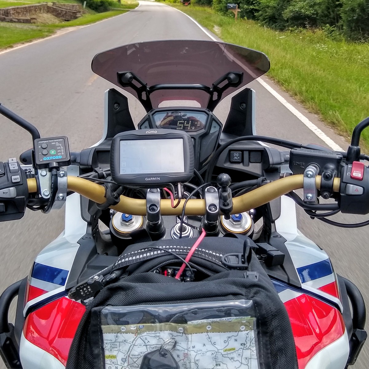
Take a look at the size of these trees! The one to the right has a trunk easily four feet in diameter. How old is this tree? I’m suspecting maybe 125 year or better. Anyway, get a look at the AT–it looks like a minibike.


You can see the culvert/bridge too.
I walk over the the river bank for a looksee.

After looking around, I hop on the AT and move down to the bridge. Maybe a day or two ago the water was still flowing over the road surface.

Just a few miles later is the second bridge. This one like the rest are more current and typical concrete bridges. What makes them different besides the name on the placard, is that some might have access to the bank below.

West of Adairville and deep in farm fields again as I make my way over to the next bridge. Since I was riding south and looking into the sun, I took this next picture looking back over the AT.

The rest of the bridges were much the same and so no more pictures of bridges today. In all, I crossed the Red River around 9-10 times.
In the the town of Guthrie, Kentucky there is always something of interest. The mural looks new.

There’s a lot of railroad track on the north side of the town. CSX is always running in this KY/TN area.
An old L&N (Louisville – Nashville) caboose is a block off the nose of the AT near the mural.

I circled the block to have a look around and get the GPS oriented for the ride back to the house and wants me to take Park St E. No problem.
Problem! 🤣

Oh, and where’s my order? 🙄

So this train is not passing. It’s slowing! Take a quick look at the GPS and make a u-turn. I know a bridge nearby! 🤟
The rest of the ride is on a route I’m familiar with as it is one I take to Fort Campbell and back–even from the former TN house.
So, that’s it. About 90 miles as mentioned and two and a half hours. Had the heated grips going and a few layers under the jacket.
Thanks for checking out the adventure. 💪


